

New Cold Front to Follow Historic Freeze in Vero Beach and Treasure Coast
Residents of Vero Beach and the surrounding Treasure Coast should keep their winter coats handy this week. Just as the region begins to thaw from a historic freeze that shattered records across Florida, a second cold front is forecast to sweep through the area. While this next wave of cold air is not expected to be as severe as the frigid conditions experienced earlier in the week, it will keep temperatures well below average for a few more days.
According to meteorologists, the incoming front is attached to a low-pressure system moving through the southern United States. It is expected to slide through Florida on Thursday, bringing another round of chilly temperatures before a welcome warm-up arrives in time for the weekend.
A Quick but Chilly Blast
Forecasters indicate that temperatures behind this new front will drop approximately 15 degrees below normal. However, unlike the lingering arctic air that defined the start of the week, this cool-down will be relatively brief.
“For Florida, it will be another round of 15 degrees or so below normal, but the key is it’s a brief one and you are warming up by this weekend. It’s going to be a quick shot of colder air.”
For the Treasure Coast, overnight lows on Friday are projected to dip into the 20s and 30s. While this ensures a frosty start to the weekend, the cold snap is expected to break quickly, with temperatures moderating by Saturday and Sunday.
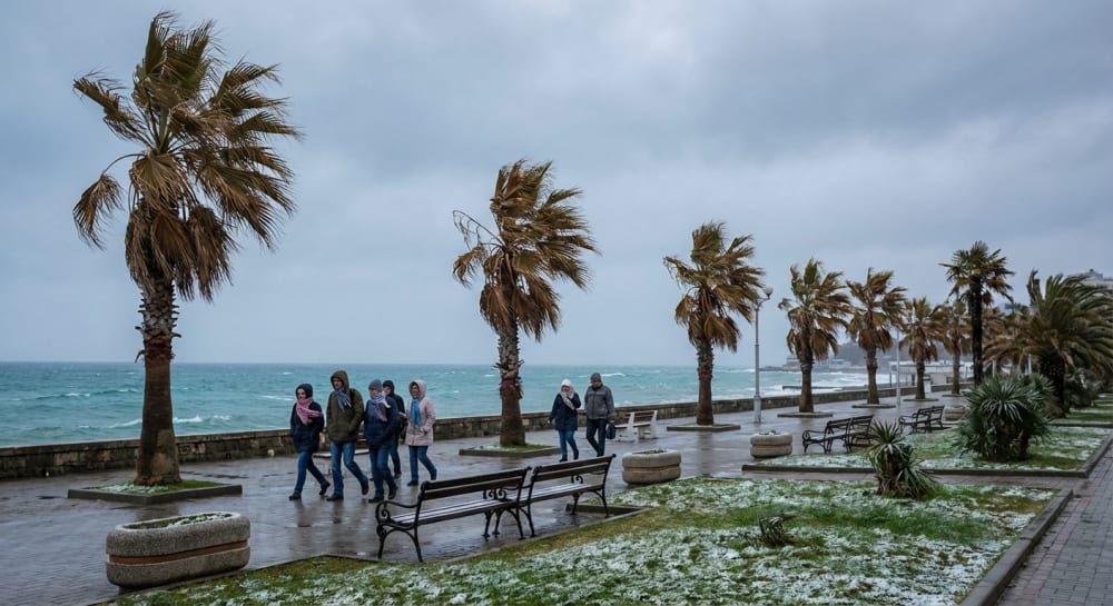
Recapping a Week of Record-Breaking Cold
This approaching front follows a punishing stretch of winter weather that challenged records dating back over a century. Daily average temperatures across the state plummeted up to 21 degrees below normal, with overnight lows dropping as much as 31 degrees lower than average.
The Treasure Coast was particularly hard hit, logging three consecutive days of daily cold records. Notable low temperatures recorded earlier this week include:
Drought Conditions and Rain Chances
In addition to the drop in temperature, the incoming front brings a possibility of rain, which is critical for a state currently grappling with significant dryness. As of late January, 94% of Florida was classified as being in moderate to extreme drought.
While the highest chances for thunderstorms are predicted for the western Panhandle, any precipitation accompanying the front as it moves south would be beneficial. Following the front, the region can look forward to a return to more seasonal, comfortable weather by the weekend.


