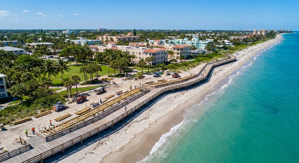


As we transition from late September into early October, residents of Vero Beach South should prepare for a classic, moisture-rich Florida weather pattern. The upcoming 10-day forecast, spanning from September 29 to October 8, 2026, indicates a persistent chance of daily rain showers and thunderstorms typical of the Treasure Coast’s tropical climate.
The overarching weather theme for Vero Beach this week features consistent daily highs in the mid-to-upper 80s, warm overnight lows in the mid-70s, and significant daily probabilities of showers and thunderstorms—peaking at an 80 percent chance by next Tuesday.
Mid-Week Outlook: Storms and Cloud Cover
Starting Wednesday, September 30, locals can expect considerable cloudiness with temperatures reaching 85 degrees. There is a 50 percent chance of scattered showers and thunderstorms developing, especially as the day progresses. East winds will remain relatively calm at 5 to 10 mph. Moving into Thursday, October 1, the rain chances increase to 60 percent. Showers are highly likely late in the afternoon and heading toward sunset, accompanied by slightly stronger east winds blowing at 10 to 15 mph. Friday will mirror this active pattern with another 60 percent chance of late-afternoon storms and highs hovering around 85 degrees.
Your Vero Beach Weekend Weather Guide
If you are planning outdoor activities or beach days in Indian River County this weekend, you will want to keep an umbrella close by. The weekend offers slightly lower rain chances but remains unsettled:
- Saturday, October 3: Expect partly sunny skies with high temperatures climbing to 86 degrees. There is a 40 percent chance of afternoon showers and thunderstorms. Overnight lows will dip to a comfortable 76 degrees.
- Sunday, October 4: Conditions remain largely the same, featuring highs near 85 degrees and a continued 40 percent chance of late-afternoon rain. The evening will be partly cloudy with lows around 75 degrees.
Looking Ahead: A Wet Start to Next Week
As we head into the first full week of October, the coastal heat and humidity will persist. Monday, October 5, is projected to be the warmest day of the forecast period, with highs peaking at 88 degrees and a 50 percent chance of late-day storms.
Tuesday, October 6, is currently slated to be the most active weather day of the stretch. The forecast calls for an 80 percent chance of rain and thunderstorms, predominantly gathering in the late afternoon. Cloud cover will be heavy, and average humidity levels are expected to soar up to 97 percent by nighttime. This elevated rain pattern continues through Wednesday and Thursday, October 7 and 8, with both days carrying a 60 percent chance of precipitation and highs holding steady in the mid-80s.
Whether you are commuting along the US-1 corridor or planning an afternoon out, local residents are advised to stay weather-aware and plan for daily afternoon rain delays throughout the upcoming week.